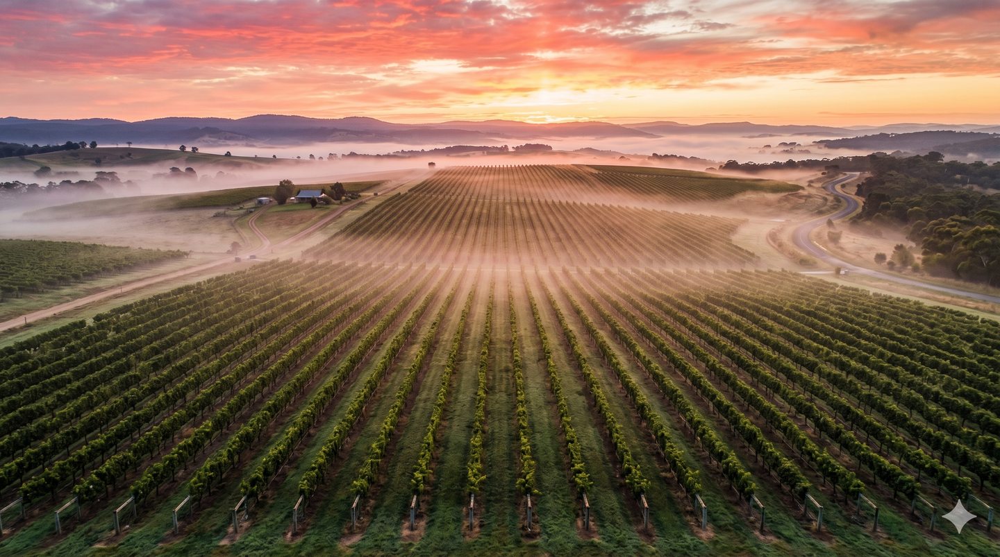
Aerial Farm & Vineyard Imagery
High-quality aerial photography across agricultural and vineyard properties.
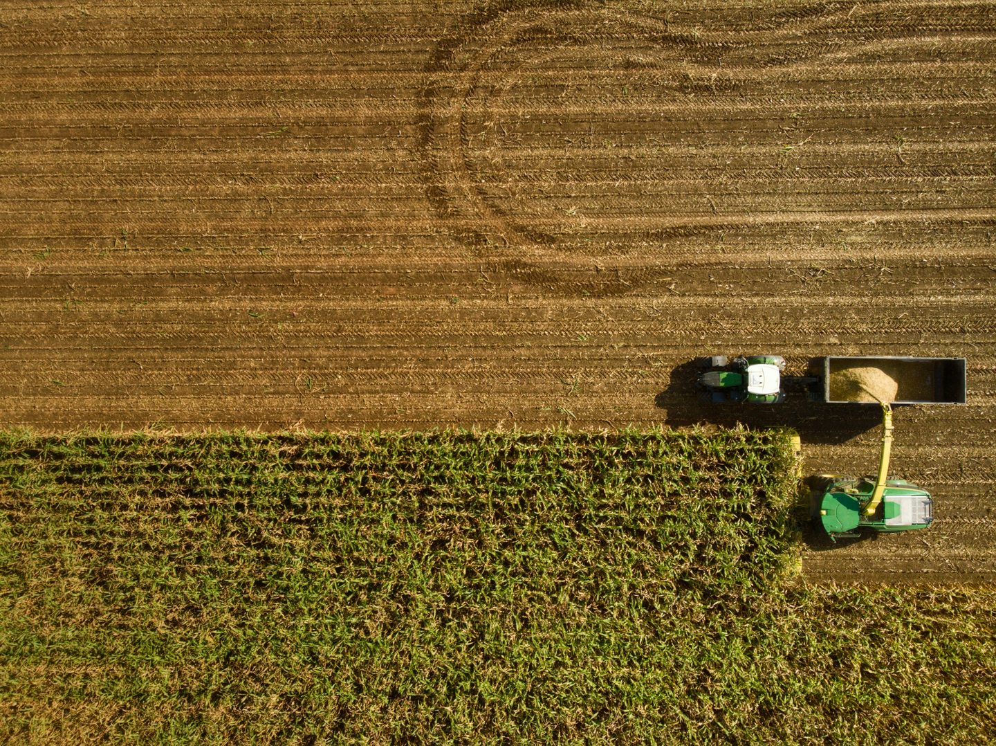
Crop Visibility & Mapping
Crop and field visibility through aerial imagery and mapped outputs.
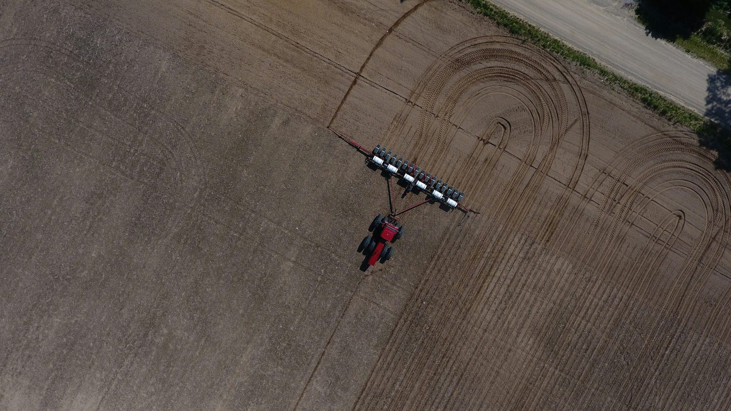
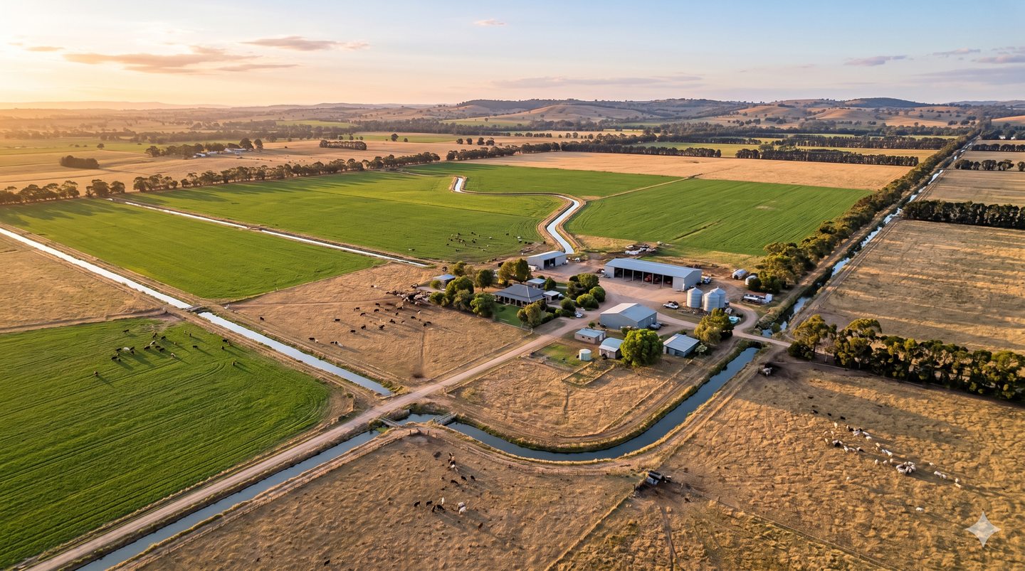
Land & Paddock Overview
Broad aerial overview of land, paddocks, and operational areas.
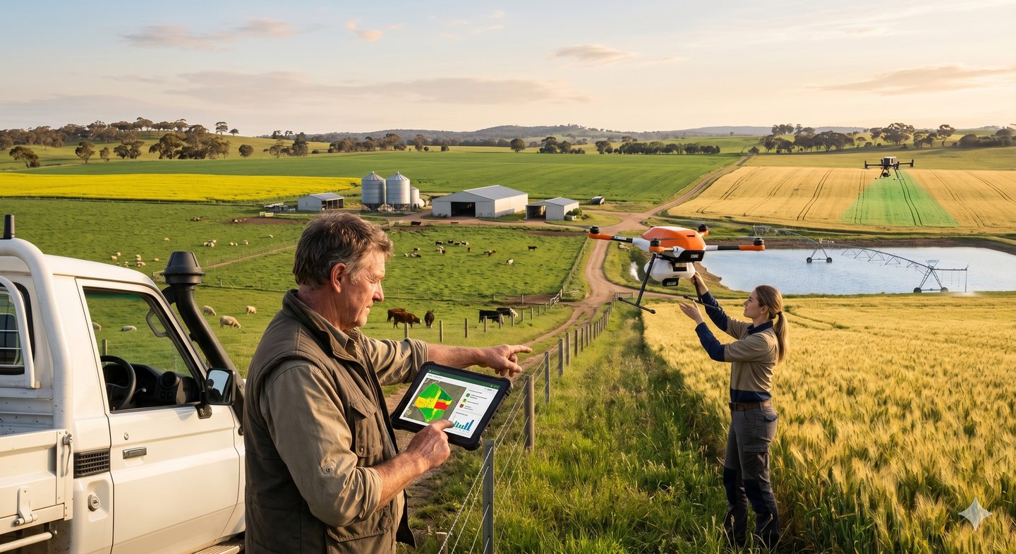
Property Condition Reporting
Visual reporting to support owners, managers, and stakeholders.
Aerial Marketing Visuals
Property sale and marketing imagery for agricultural assets.