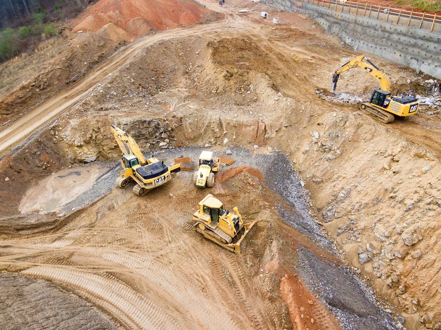
Hawkeye Integrated Services supports builders, civil contractors, and project teams with drone services, aerial inspections, mapping, and machinery advisory.
Large or fast-changing sites are difficult to monitor consistently without aerial support.
Progress updates rely on manual inspection — often delayed or incomplete.
Manual inspection of elevated areas increases time, cost, and safety risk.
Limited visibility around plant movement, utilisation, and laydown areas.
Capture current aerial site visibility quickly and professionally
Support progress reporting with up-to-date visuals
Improve planning with mapping and visual site context
Support equipment and operational decision-making with practical field understanding

Aerial overview and inspection support across active construction and civil sites.
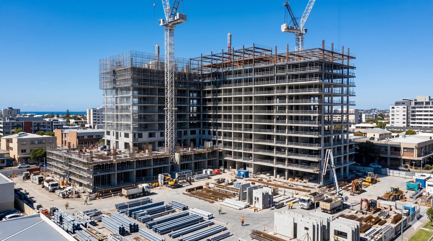
Regular aerial capture for stage-based progress documentation.
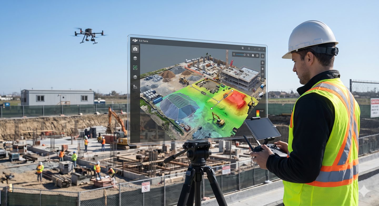
Mapped aerial outputs for planning, review, and site documentation.
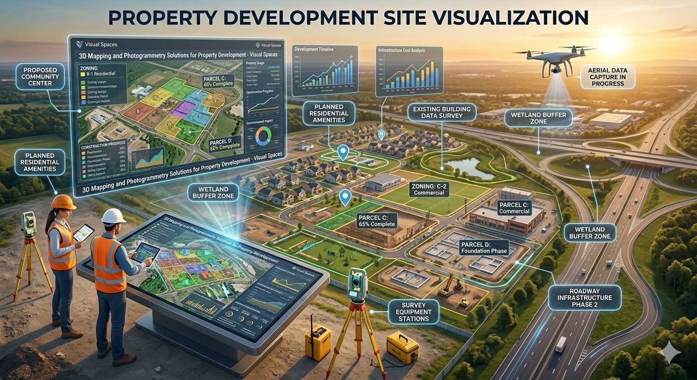
Structured visual reporting to support internal teams and stakeholders.
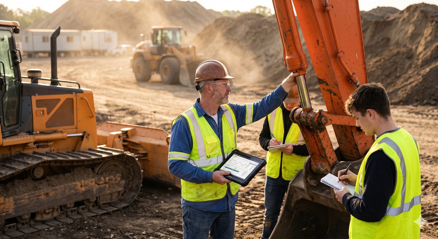
Equipment assessment and advisory support for plant on or near site.
Faster site intelligence and project visibility
Improved stakeholder reporting
Reduced access-related inspection risk
Better visibility around plant, equipment, and active work areas
Regular aerial capture and reporting to support oversight across active projects.
Visual documentation for key construction milestones.
Aerial overview of civil works, earthworks, and access conditions.
Professional aerial imagery for tender submissions and client presentations.
Get tailored insights on your site, assets, or equipment needs — no obligation.
Get tailored insights on your site, assets, or equipment needs — no obligation. A 30-minute call to discuss your project and how we can help.
Drone services, inspections, machinery advisory & more
Submit your details for a tailored response